September is still hot, but if you’re itching to kick off the climbing season or work on your tan, these two trails are worth considering: Sawtooth Ridge (鋸齒) and Taipei Skyline Trail (台北天際線) Section 1A!
Sawtooth Ridge (鋸齒)
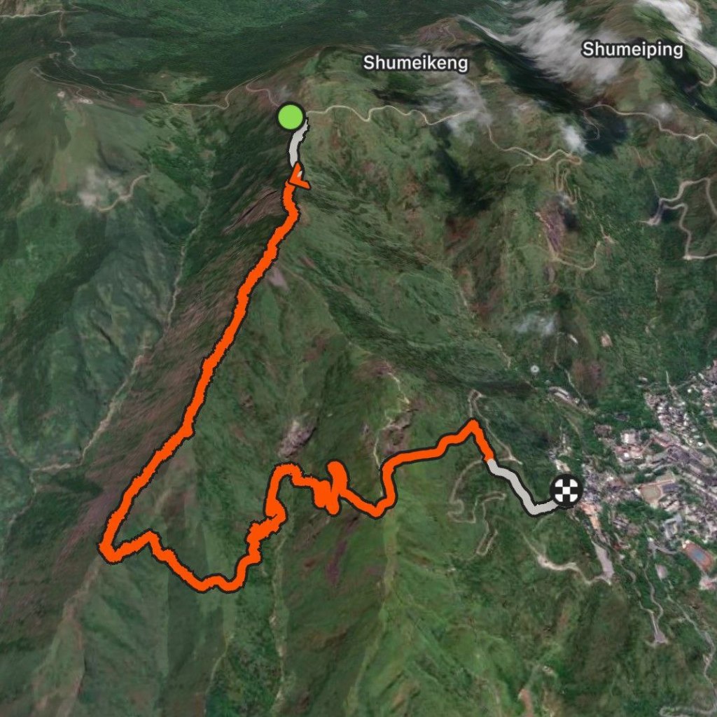
The trail we tackled starts from Banpingshan at an altitude of ~630m, reaches a maximum elevation of 713m, and ends at Teapot Mountain Trailhead at 255m.
Total elevation gain: 256m over 7km.
A colleague drove us to the start of Banpingshan Trail.
Staying hydrated was challenging in the scorching, cloudless heat! Despite having 1.5L of Supau and water, we couldn’t muster the motivation to tackle Stegosaurus Ridge (劍龍稜) and return to the car. The strongest hikers (our drivers) completed it, then picked us up at Teapot Mountain Trailhead.
What I Did Wrong
- I didn’t bring gloves — they’re like the bane of my existence
- I wore short shorts; tall grasses in some areas cut my skin
- Doing this in summer. I know I said it’s not a bad idea, but if I could do it again, I’d choose winter or spring
How does it compare to Yuanzui Mountain (鳶嘴山)? Yuanzui’s peak sits at ~2,190m above sea level with an elevation gain of 436m. It also has more ropes and rungs for support. I climbed Yuanzui in much cooler weather, which made it more enjoyable.
Taipei Skyline Trail (台北天際線) Section 1A
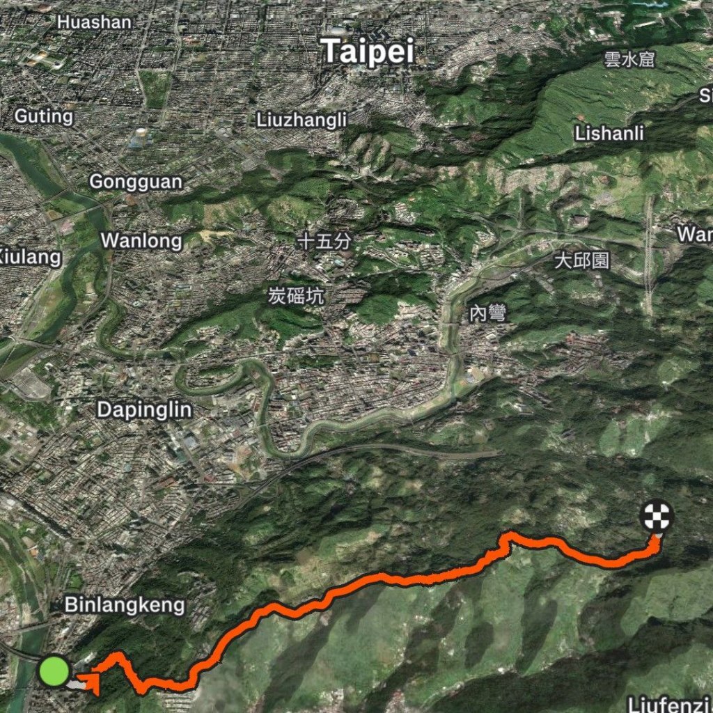
This trail starts across from Xindian Station (新店) and is supposed to end at Zhinan Temple, but due to rain in the forecast, I decided to end at Maokong Station (貓空站).
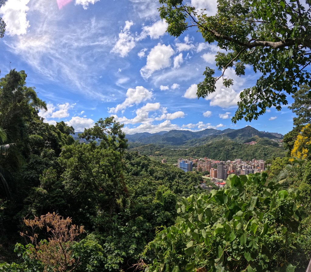
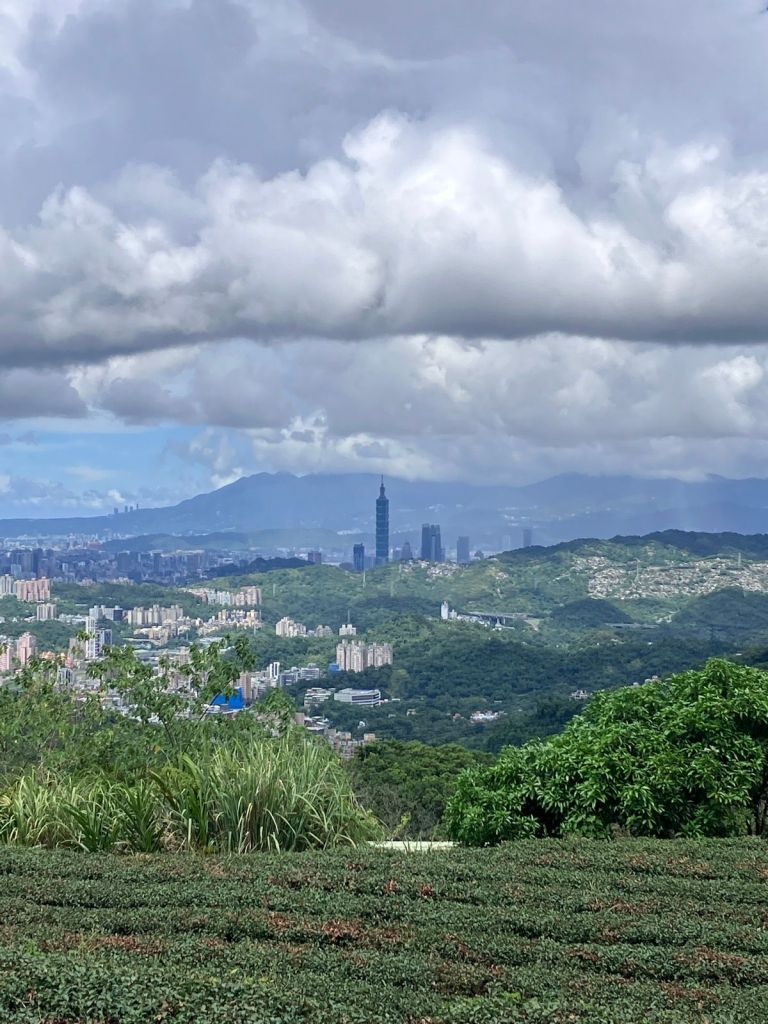
Looking at the map, Taipei Skyline Trail lives up to its name! You’ll get beautiful views of Taipei along the way.
The first part begins with a staircase across from a house.
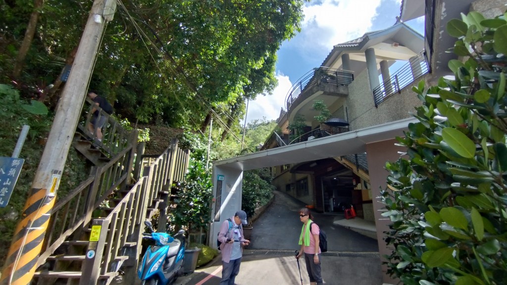
After a steep climb to Longevity Pavilion – Lion Head Mountain (長壽亭 – 獅頭山) and a steep descent, you’ll walk along a residential road — beware of dogs!
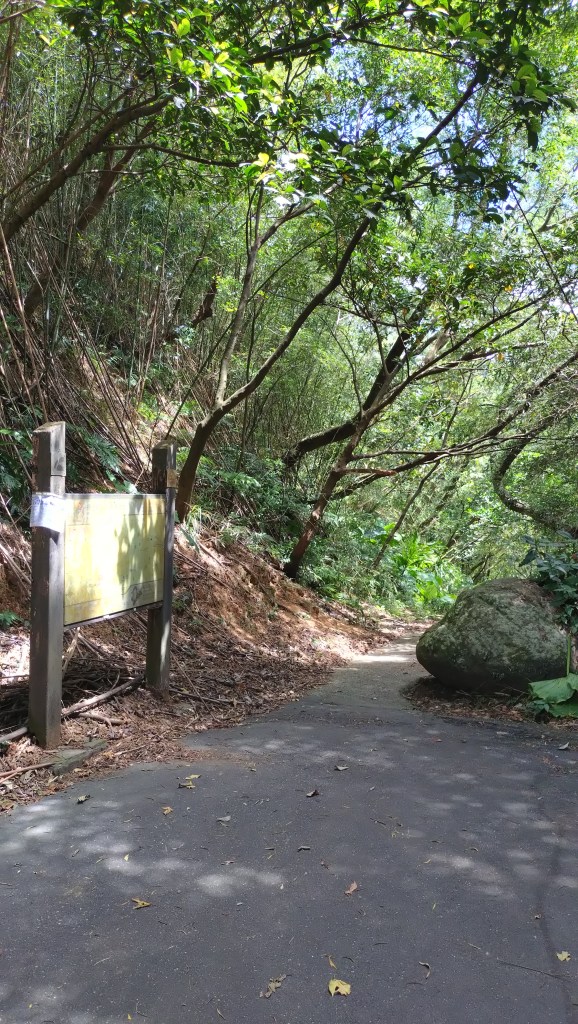
You’ll reach what looks like a dead end but is actually the start of Dailaokeng Mountain (待老坑山)!
Visit the Strava link and download the GPX to follow the trail turn by turn!
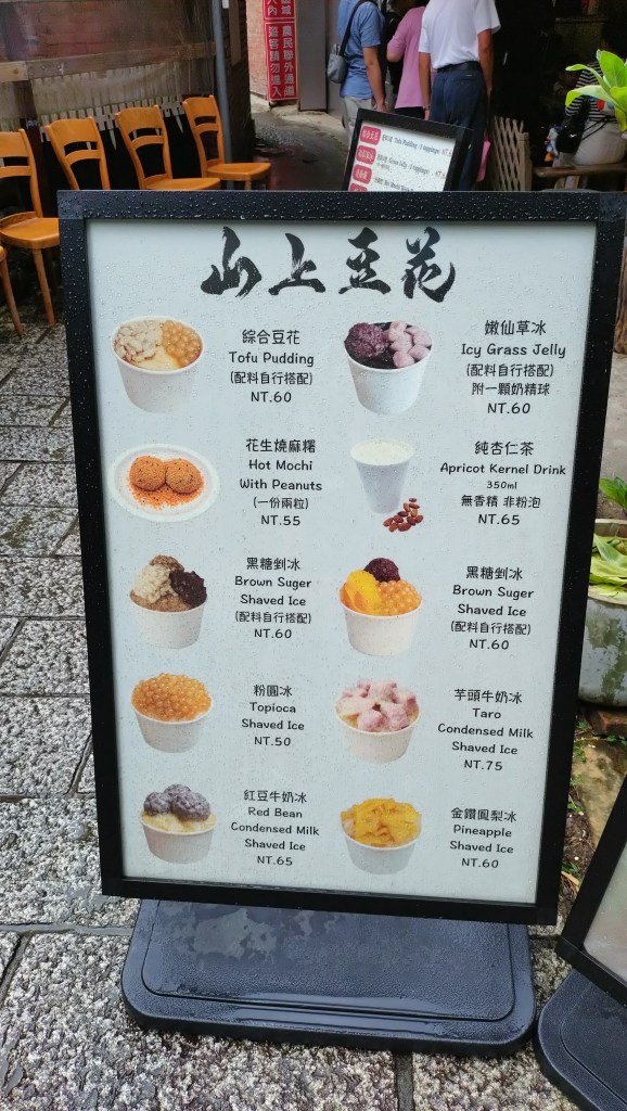
I drank about 750ml of Supau, half a bottle of magnesium drink, and a handful of salt candies. I started late at 9:35AM and finished in 3 hours without completing the full trail due to rain. As soon as I got closer to the gondola station, the rain poured—my decision to cut it short was right. I couldn’t get an Uber, so I waited it out, then had shaved ice before heading down.
I took a bus from the stop across the gondola station to a stop near Maokong Station and finally caught an Uber!
I’ll definitely attempt this trail again and try to complete Section 1A.
===
That’s it for now! Stay tuned for more weekend hikes!
🌹

Leave a comment