Route is part of the larger Provincial Highway 9 that stretches east of Taiwan, in this article I’ll detail the route as well as how we rode it.
Route and Weather Check
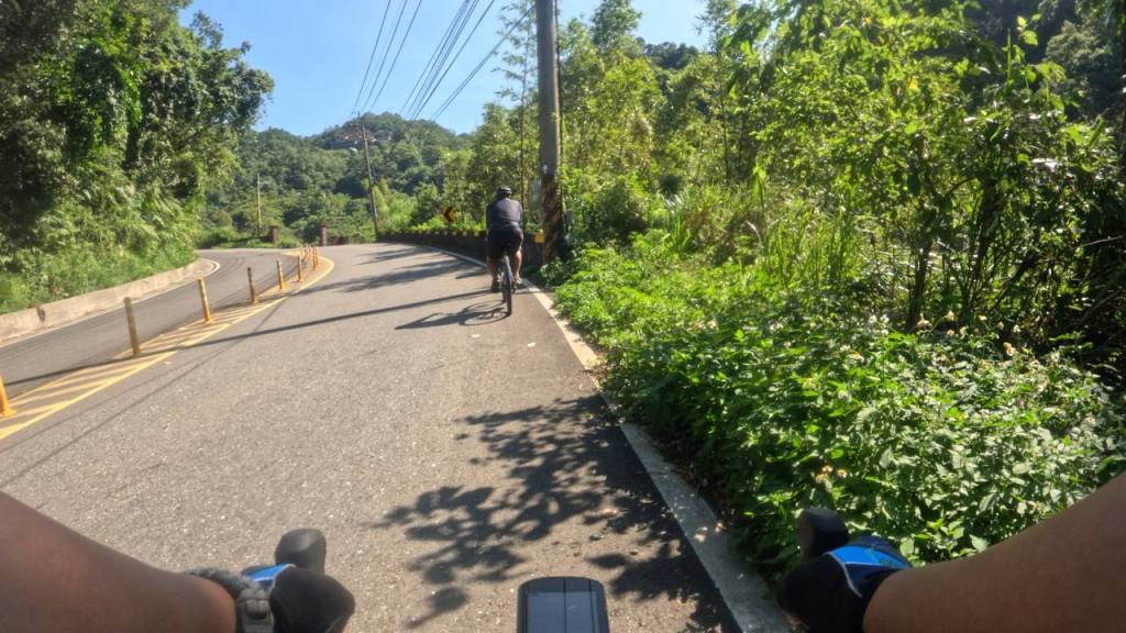
Route is pretty straightforward and hard to get lost: we started at Xindian (新店) MRT Station, rode along Beiyi Highway (北宜公路)for 15km. Coffee a Taste of Helen (海倫咖啡) is to the left side.
Here is the route map: [link]. One way, route is 15.3km of mild climbing with 560m of elevation gain. Highest point is around at 540m.
There were 2 forks that I found a bit confusing
General guideline we had is that as long as we stayed on the highway, we’re not going to get lost.
We started a bit late and the weather during the ride date is unusually hot. This impacted our nutrition and hydration plans.
Nutrition and Hydration
Each of us brought the following:
- 1x Bidon with 500ml water with 1 Mg tablet dissolved
- 1x Electrolyte drinks
- 1x Chocolate Bar
- 1x Banana
To manage the heart rate from heat, we took a break to re-hydrate at the following points:
- around 5.84km mark (~150m elevation)
- around 7.09km mark (~225m elevation) – this is right after a punchy climb
- around 9.06km mark (~300m elevation) – took advantage of, what i think is, an emergency bay
- around 11.05km mark (~400m elevation) – shaded area
- around 14.01km mark (~500m elevation) – this is right after another minor punchy climb

Bike Setup
We brought bike lights just in case we needed to be more visible.
First time I’ll be using mechanical disc brakes after years. So to compensate, I set tyres to be softer for more traction. I didn’t feel any negative effect during the climb and this setup helped a lot when I descended on the way back home.

Going Home
Homeward bound was easy. 15km uphill means 15km downhill. Am not confident with the mechanical disc brakes so we took descent really slowly- 30km/h on the average.
This made sure we are still in control and can emergency brakes in case something comes up.

Leave a comment